Tuesday, 28 February 2023

The Siege of Kohima (April 1944)

 Nagaland is unlike any other part of India. Located tight against the Myanmar border the Naga people have a distinct cultural and linguistic identity, having more in common with their Burmese neighbours than with the bulk of the Indian population with whom they share a common nationality. Unlike the rest of the sub-continent the area is predominantly Christian. Indeed, the Nagas have worked hard to maintain their own unique cultural and ethnic identity, eschewing attempts to paint them as 'Indian'. This has, in recent years, manifested itself in violent protest which is why Nagaland has been closed to foreigners for most of the post war period. Now, however, it is possible to go there - and so, with the help of a travel firm called Cultural Experience, I did just that.

Wartime bridge on the Dimapur / Kohima road

In her book 'Naga Path' Ursula Graham-Bower, offered up her impressions of Nagaland. A fantastically dramatic setting - knife edge ridges and hills looming blue and green out of the cloud - razor-backed spurs sweeping down into deep valleys. Graham-Bower was a remarkable women. Appointed by Slim as a senior British Army commander she was a key figure in mobilising V-Force as an intelligence gathering operation after Japanese successes in Burma, which had brought them up to the border where they were in a position to threaten British India. Looking out of the window during our flight from Calcutta to Dimapur, I could see what Graham-Bower was getting at in her description. 

Nagaland from Calcutta to Dimapur flight

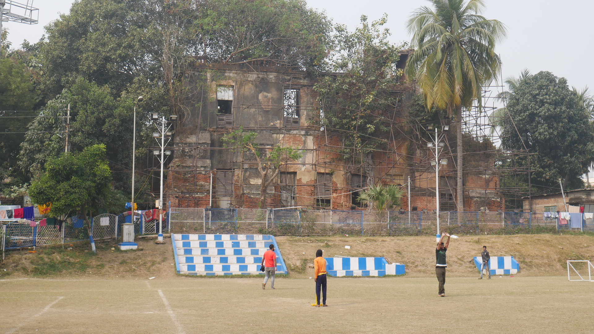
It somehow seemed appropriate that our journey started from Dimapur as during the Second World War this town was a strategically important rail hub and the starting point for the transfer of supplies, by road, up to Kohima. Actually, taking the road in question, one quickly comes across a bridge built by military engineers in 1942. Unused now it is sobering to think that in 1944 all road traffic going up to Kohima traversed this historic structure. Nowadays the road to Kohima is mostly metalled but the route it takes has not changed over the years - following an ancient track and winding its way through stunning mountain scenery.

Kohima from hotel window

In 1944 Kohima was a relatively small village. It sits on the Kohima Ridge which Robert Lyman, in his excellent book, 'A War Of Empires: Japan, India, Burma and Britain 1941-45' describes as an enormous physical barrier, especially so to an army intent on moving farther west towards Dimapur; consequently it's defence and retention are critical if this route is to be barred to an invader. Furthermore if Kohima fell then Imphal would be starved of supplies. The storm did come of course - the U-Go offensive into India was a massive endeavour and the attempt by the Japanese 31st Division (of the 15th Army) to take the Kohima Ridge in April 1944 was thwarted by a heroic defence and eventual counter-attack by British and Indian forces who, under General Slim's leadership, had regained confidence and rebuilt fighting capability after major defeats in Burma over the previous eighteen months.
 
View of Kohima from Garrison Hill

During the siege, which started on the 4th April 1944, the 2,500 strong garrison was commanded by Colonel Hugh Richards, a man who some feel was treated quite shabbily afterwards. Under his command, Richards had one Battalion of the Queen's Own Royal West Kents (under Colonel John Laverty) and one Company of the 7th Rajput Regiment - both from 161st Brigade. In addition, Richards had a raw battalion from the Royal Nepalese Army (the Shere Regiment) and various detachments of rear-echelon troops. Nowhere was the fighting more intense than within a small perimeter on Garrison Hill in proximity to the Deputy Commissioners bungalow. Fighting was fiercest around an asphalt tennis court which served as 'no-mans land' during hand-to-hand fighting. Fittingly, the spectacularly sited Kohima Commonwealth War Graves Cemetery is located on this spot and the tennis courts have been remarked in the grounds.

Cross of Sacrifice - Tennis Court
Kohima CWGC, Garrison Hill

During this first tage of the Battle of Kohima - the siege,  the defenders were supported by 161st Brigade's artillery which was deployed in the Jotsoma area, about two miles from the epicentre of the fighting in Kohima. The picture below is taken from just above the main gun positions and one can see Garrison Hill on the horizon about a third of the way in from the left. Relief for the defenders of Kohima began to arrive on the 18th April in the form of Major General John Grover's 2nd Division. The 1st Battalion, 1st Punjab Regiment of the 5th Brigade being the first to pierce the Japanese encirclement.

View of Garrison Hill (far distance, left hand side) from Jotsoma

An authentic battlefield relic can be found at the foot of Garrison Hill in the form of a Lee Grant tank still in the position where it came to rest on May 6th whilst supporting troops of the 2nd Division. An information board nearby gives the detail: Under treacherous monsoon condition, the tank careered down the hill, lost a track and crashed against a tree, where it came under enemy fire. The crew jammed the triggers of the tank's machine guns to fire continuously, set the turret to rotate and escaped back to British lines. It remains in place as a memorial to the heroism and sacrifice of all of those who fought in the battle. As can be seen in the image below, reading the information panel was not easy.

Lee Grant Tank - Kohima

Lee Grant Tank - Information Boards

Even after the relief had started, Lieutenant General Sato's 31st Division continued assaulting Garrison Hill although they were eventually forced into a defensive posture with four Battalions seeking to hold the Kohima Ridge in the face of a concerted British counter-offensive. Faced with a deteriorating supply situation, confused orders and decisive Allied advances Sato pulled back on the 1st June. This, despite no explicit orders to do so from the overall Japanese Commander of 15th Army, General Mutaguchi.

For more images from Kohima click here.

Tuesday, 21 February 2023

The Battle of Sangshak (March, 1944)

 The 1944 Japanese 'U Go' offensive was bold to say the least. Lieutenant General Renya Mutaguchi had successfully argued that the Allied war effort in Northern Burma and Nationalist China could be severely compromised by a large scale advance through the Brahmaputra Valley in British India, taking in Imphal and Kohima. Furthermore, it was felt by some in the Japanese High Command that if disaffected Indian combatants could be mobilised in sufficient numbers then the British grip on Bengal might be loosened - with massive political implications for the future of the sub-continent. The invasion involved three Japanese Divisions - the 15th, 31st and 33rd (approximately 85,000 men, supported by units of the Indian National Army). The epic battles at Kohima and Imphal are the stuff of legend, and the fight at Sangshak was critical to Allied success in that it delayed the Japanese advance by several days - buying valuable time for the defenders of Kohima in particular.

The Imphal Valley from the Ukhrul Road

The village of Sangshak is way up in the Naga Hills, accessible (just) via the Imphal to Kamjong Ukhrul Road. The journey is a long and arduous one, made more so by the occasional checkpoint and diversions caused by landslips and roadworks. Its an area that has been closed to visitors for many years. Indeed when we eventually reached the village, at over 5,000 ft elevation, we were told - through our local guide - that we were amongst fewer than 100 'white men' who had visited the area since the end of the Second World War!

Sangshak Village - Lower Reaches

Why the Japanese didn't follow their standard (and proven) tactical doctrine of bypass and infiltration is something of a mystery. However, elements of the Japanese 31st Division (en-route to Kohima) and the associated 15th Division (en-route to Imphal) converged on the village which at the time of the battle was held by the understrength 50th Indian Parachute Brigade commanded by Brigadier Hope-Thompson. Hope-Thompson also had a Battalion of the 5th Mahratta Light Infantry and two companies of the Nepalese Kalibahadur Regiment under his command. The fighting was brutal - 'see-sawing' across the heart of the village and often consisting of Japanese 'Banzai' charges against shallow trenches occupied by the exhausted defenders.

Allied line - looking towards Japanese positions

Our arrival in the village caused something of a stir. Local children seemed particularly intrigued - paying close attention to our expert guide, Robert Lyman, as he explained the heroic actions that took place on this spot. Our 'field' lunch was splendid - freshly cooked vegetables, pulses and meats all sourced from within a few hundred metres of the kitchen where the food was prepared. Anyone who has read the extraordinary memoirs of Slim's only female commander, Ursula Graham-Bower, will have an inkling of how special Nagaland is. Hill tribes who have more of affinity with the Burmese populations across the nearby border, than with their Indian compatriots. Each village has its own language and cultural proclivities. All share a common faith - Evangelical Christianity brought to them by American Baptist missionaries at a time when most of the Naga tribes were still head-hunting!

Our lunch hosts

Losses during the battle were an indication of the intensity of the fighting. By the time that Maxwell Hope-Thompson withdrew his force, the Indian Brigade had lost over 650 men. Japanese losses were of a similar magnitude. History has not been kind to Hope-Maxwell. Whilst he went on to serve with distinction in Europe, some historians have been critical of the manner of the 50th Parachute Brigade's withdrawal where there is some ambiguity in the sequencing of events and orders. The conclusion of our group? Such criticism was grossly unfair. The stand that the Brigade made at Sangshak was an incredible feat of arms which delayed the Japanese 31st Division's advance on Kohima for a critical few days.

Since the battle was fought, Sangshak has changed a little. True, everyone has a smart phone ... but the townswomen still fetch water from the wells at the bottom of the hill. The dwellings are much as they were, often patched up with 44 gallon fuel drums beaten in to flat panels for walls or roofs. The two hills which 'book-mark' the flat ground at the centre of the village, are surmounted by huge church buildings - a phenomenon that can be witnessed in every Naga settlement. Venture into the jungle on the hill sides around the village and one soon stumbles upon extensive trench lines and firing positions. We had the benefit of a local man and his son, who showed us the way and chopped away vegetation to clear a path.

Images from our trip to Imphal (including Sangshak) can be found here.

With thanks to Yai Kangjam (Battle of Imphal Tours), Robert Lyman (Author of 'A War of Empires: Japan, India, Burma and Britain 1941-45') and Alan Rooney (The Cultural Experience).

Wednesday, 15 February 2023

The Battle of Plassey: The Victory that won an Empire (1757)

 The road from the old imperial capital of Kolkata (Calcutta) up to the site of the battlefield at Plassey is not for the faint hearted. An arterial route running alongside the Hoogli river it passes close to the historic town of Barrackpore and winds its' way up through countless towns and villages before reaching a recently installed memorial arch which 'announces' that Plassey has been reached. We chose Indian National Day to travel, not the wisest move - but something that did enrich the journey somewhat as everyone seemed to be dressed in their very best finery - a riot of colour.

On the Road to Plassey

Robert Clive (Clive of India) famously made his reputation at Plassey and on the way up we swung by the decaying ruins of his once great house, in the suburb of Dum Dum (near the ammunition factory), Kolkata. Sadly the place is in a dreadful state, unstable and gradually collapsing. There is talk of a preservation effort, but even securing the site would be difficult given that there are a number temporary looking dwellings within the perimeter of the building. Those who live there would need to be rehoused and compensated.

Clive's House, Kolkata

The town of Barrackpore (Barrackpur) was the first British barracks complex (cantonment) built in India. It's colonial history goes back to 1772 after the British Crown had assumed control of the area from the East India Company - as a result of the British victory at Plassey. We were unable to gain entry to the recently refurbished Flagstaff House or the extensive grounds. This was a shame as, apart from the house itself, we were keen to see the old British statues which had been displaced from public spaces in Kolkata post 1947. The town has a prominent place in the Indian nationalist historical narrative as the Indian Rebellion (Mutiny) of 1857 was sparked on one of its' parade grounds when Mangal Pandey declined to accept an order from his British Commanding Officer. Pandey is now feted as a national hero across the sub-continent. 

British Statues in the grounds of Flagstaff House

There are few battles in history, that had as profound a set of consequences as Plassey. Towards the end of the Eighteenth Century Britain was emerging as Europe's most powerful nation - to the discomfort of France. British influence and control in the sub-continent was exercised through the trading and policing activities of the increasingly powerful East India Company. The ruler of Bengal, Nawab Siraj-ud-daulah, sought to put an end to this dominance and enlisted the help of the French. The culmination of this military challenge came at Plassey where, in a handful of hours, Robert Clive's 3,000 strong combined force of British soldiers, Sepoys and East India Company men saw off a Franco-Bengali force numbering 18,000.

The Plassey Monument - Erected 1857

The memorial on the battlefield was built on the first centenary of the battle in 1857 on the site of the Hunting Lodge which sat at the heart of Clive's positions on the east bank of the River Hoogli. We spent quite a bit of time pouring over contemporary maps and whilst the Hoogli has changed course over the year, the consensus was that the memorial was almost certainly in the 'right place'. That can not be said about the memorial stones purportedly capping a battlefield gravesite centred on the Nawab's main position (his 'camp'). This latter memorial, erected in 1973, consists of a raised brick plinth surmounted by three obelisks each commemorating a named individual. 
The Plassey Battlefield - India National Day

The Nawab's Memorial - Erected 1973

The battle started with an artillery duel during which two large water tanks providing some cover for Clive's men. There are water tanks on the battlefield today - large water-filled rectangular reservoirs but these are almost certainly not in the same place as the originals. As the fight developed, a mixture of tactical superiority, better disciple and changing weather (heavy rain) meant that the balance tipped towards the British and with the death of one of the senior Bengali commanders, Mir Madan, and the Nawab's flight from the battlefield victory was secured. Clive had no cavalry so the pursuit was not prolonged, but the battle had been decisive and British hegemony in Bengal was secured.


For photographs of Plassey and Barrackpore click here.